ActiveEarth Based
US State LIDAR Viewer
Independent geospatial visualization
2026
Earth Based
Overview
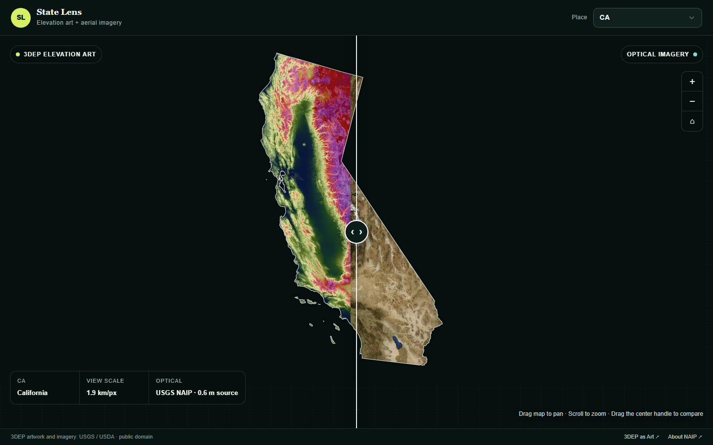
An interactive state-by-state viewer that compares USGS 3DEP elevation art with high-resolution aerial imagery using a draggable split view.
Technical Specifications
Coverage: all 50 states, Washington, D.C., Puerto Rico, and the conterminous United States. Elevation: USGS 3DEP as Art imagery derived from seamless elevation models. Optical imagery: USGS aerial overview imagery with detailed NAIP requests as the user zooms in. Interaction: state selection, draggable comparison divider, pan, zoom, and fit-to-state controls. Delivery: interactive viewer hosted directly on mattmullin.space.
Technologies
USGS 3DEPLIDARNAIPRemote SensingGeospatial Visualization
Project Gallery